
Austintown Neighbors Source Check
A block search has several layers, and none is a universal list of Austintown Township neighbors. The Mahoning County Auditor Property Search identifies parcels and record-address fields. The county map gives geographic orientation, and the Recorder supplies a transfer trail for an individual parcel. Public voter material may add a dated registration signal within Ohio’s disclosure rules. Library and archive sources describe historic community context, not present membership. Keep owners, recorded mailing contacts, and occupants as different categories throughout the search.
| Source | What it shows about a block | Access |
|---|---|---|
| Auditor parcel search | Nearby parcels, current recorded owner and tax-address fields, legal description, sales, and property data | Free county web search; it does not list every resident. |
| GIS map | Visual parcel geography around a known property | Free map viewer; informational only, not a legal survey. |
| Recorder transfer record | Recorded parties and dates for one parcel’s land documents | Laredo after enrollment for 1980 to present, plus counter research for older work. |
| BOE or DATA snapshot | Public voter-registration data as of a stated date | Board request or state file; confidential and protected voters are omitted. |
| Building or zoning material | Address-specific work or land-use context when responsive | Department or public-record request; not evidence of occupancy. |
| PLYMC or MVHS collections | Historic directories, yearbooks, civic material, and local context | Library or archive research; collection and era specific. |
An address-created owner record does not name all occupants. A deeded-owner address is sourced from the last recorded owner document, and a tax-payer address is where correspondence goes. Both can be outside Austintown Township. The same caution applies to a transfer party, which may be an estate or an entity rather than a current neighbor.
Note: Use the block only to identify separate record questions, then verify each candidate parcel with its own official property record.
Map Austintown Neighbors by Parcel
The conservative map method starts in the Auditor rather than at an unverified boundary line. Find the known address, open the parcel page, and capture the parcel number, property location, legal description, and map link. Then open the Mahoning County GIS/Tax Map only to orient visually around that known parcel. The county describes GIS boundaries as approximate and informational, and it says original recorded documents control legal transactions. The static research did not document every map layer, measurement, buffer, or adjacent-parcel control, so none should be assumed.
- Locate the starting address in the Auditor and record the parcel number, site location, legal description, and visible map link.
- Use the GIS viewer to orient to that parcel. Select or inspect only controls that are visible in the live interface.
- Identify a nearby parcel number only where the interface actually exposes it, then open that candidate separately in the Auditor.
- Compare each candidate’s property location and legal description. Do not treat a map edge, label, or screen distance as a legal boundary.
- For the recorded transfer trail, use the Recorder one parcel at a time. A full named-street workflow belongs with the Austintown Township street directory.
The GIS office offers map and user training at 330-740-2455. It is a procedural resource when a control is unclear, but it does not convert the viewer into a legal survey or a household roster.
Austintown Neighbor Property Cards
After opening each selected parcel separately, read the record as a property card. The Auditor can show the property location, green parcel-number link, aerial or GIS map, deeded owner address, tax-payer address, valuation, legal data, residential or improvement attributes, sales data, and tax history. These fields give context for the parcel. They do not establish that each recorded name currently lives there, and they do not expose a lawful list of utility customers, delivery recipients, motor-vehicle registrants, or every household member.
- Situs or property location
- The place assigned to the parcel. It is different from a mailing or tax-contact address.
- Legal description
- The formal land identifier used to compare a lot, tract, or subdivision interest across records.
- Deeded owner address
- The address shown from the last recorded owner document. It can differ from the place associated with the parcel.
- Tax-payer address
- The correspondence address for tax matters. It is not a current-occupant field.
A careful block note might state that a named person appears as the recorded owner on a particular parcel card as of the date checked. It should not convert that field into “who lives next door.” That distinction is especially important when a parcel is held by a trust, estate, partnership, or a person with a nonlocal mailing address.
Austintown Neighbor Transfer Trails
Recorded transfers can help explain a parcel’s history, but they do not create a neighbor list. Once the Auditor card supplies a legal description and sales clue, use the Mahoning County Recorder to seek the matching transfer. Search the current owner as grantee, compare the acquisition date and legal description, then identify the recorded grantor. That grantor can be a candidate for the prior purchase only after the legal description is compared again.
Laredo Anywhere states that its online search-and-print window begins in 1980 after enrollment. Before that edge, use the Recorder’s public computers or the counter at 120 Market Street. The office maintains thirteen public search computers, but staff do not conduct an open-ended search for a customer. Request a specific document or a narrow index path once a name, date, legal description, or document reference is known.
Note: A document party records a role in a transfer, not proof that the party is a present neighbor or occupant.
Austintown Neighbor Voter Boundaries
Ohio Rev. Code § 3503.13 makes voter-registration forms and the statewide registration database public records subject to important exclusions. A public version must not be treated as a private file. Social Security and identification numbers, telephone numbers, email addresses, protected public-service-worker addresses, confidential records, and other protected information are excluded. The Mahoning County Board of Elections offers voter-list and registration paths, but its inspected public landing page did not expose the live individual form’s exact fields or results.
For a block question, a properly obtained public file can be useful only for its permitted fields and its stated date. The Ohio DATA Act voter search provides dated county registration snapshots and keeps snapshots for at least 22 months. It does not turn a current block into a complete household roster. Ohio’s Safe at Home program can remove a participant’s name, residence address, and precinct from public voter versions, so a nonmatch cannot be used to infer that someone is absent or that a record is wrong.
Austintown Neighbors and Community Records
Community resources can add public context to a block, but the documented sources do not supply a current neighborhood-membership directory. Austintown Township government publishes meetings, trustee and administration material, police, zoning, garage-sale, no-solicitation, and community-event information. Its official pages did not publish a homeowner-association directory, neighborhood-association member list, or block-watch roster. That absence is a research gap, not an invitation to create a roster from unrelated public records.
| Community layer | Verified local finding | Directory status |
|---|---|---|
| Austintown Township government | Township-wide administration, zoning, police, meetings, and events | Public official and contact information, not a neighbor roster. |
| Austintown Historical Society / Austin Log Cabin | Township contact: 330-799-8051 | Call with a street, family, or time period; no online holdings or member list was verified. |
| PLYMC | Austintown branch and county genealogy resources at 600 S. Raccoon Road | Public research service, not a current-neighbor directory. |
| MVHS | Historic civic and association collections | Archive holdings, not a current contact roster. |
| HOA, neighborhood, or block-watch groups | No official Austintown source found | No verified roster or organization should be claimed. |
The Public Library of Youngstown and Mahoning County genealogy resources can assist with historical directories, newspapers, yearbooks, and digital archives. Those materials help document a past association or address, not a current person’s contact details.
Austintown Neighbors in the Archive
Historic community records add a useful but limited second layer to block research. The Mahoning Valley Historical Society holds local maps, census, cemetery, church, government, and organizational materials. Its Austintown civic material includes the Austintown WCTU chapter record for 1939 to 1967. This is a story of community activity preserved in an archive, not a list of today’s neighbors.
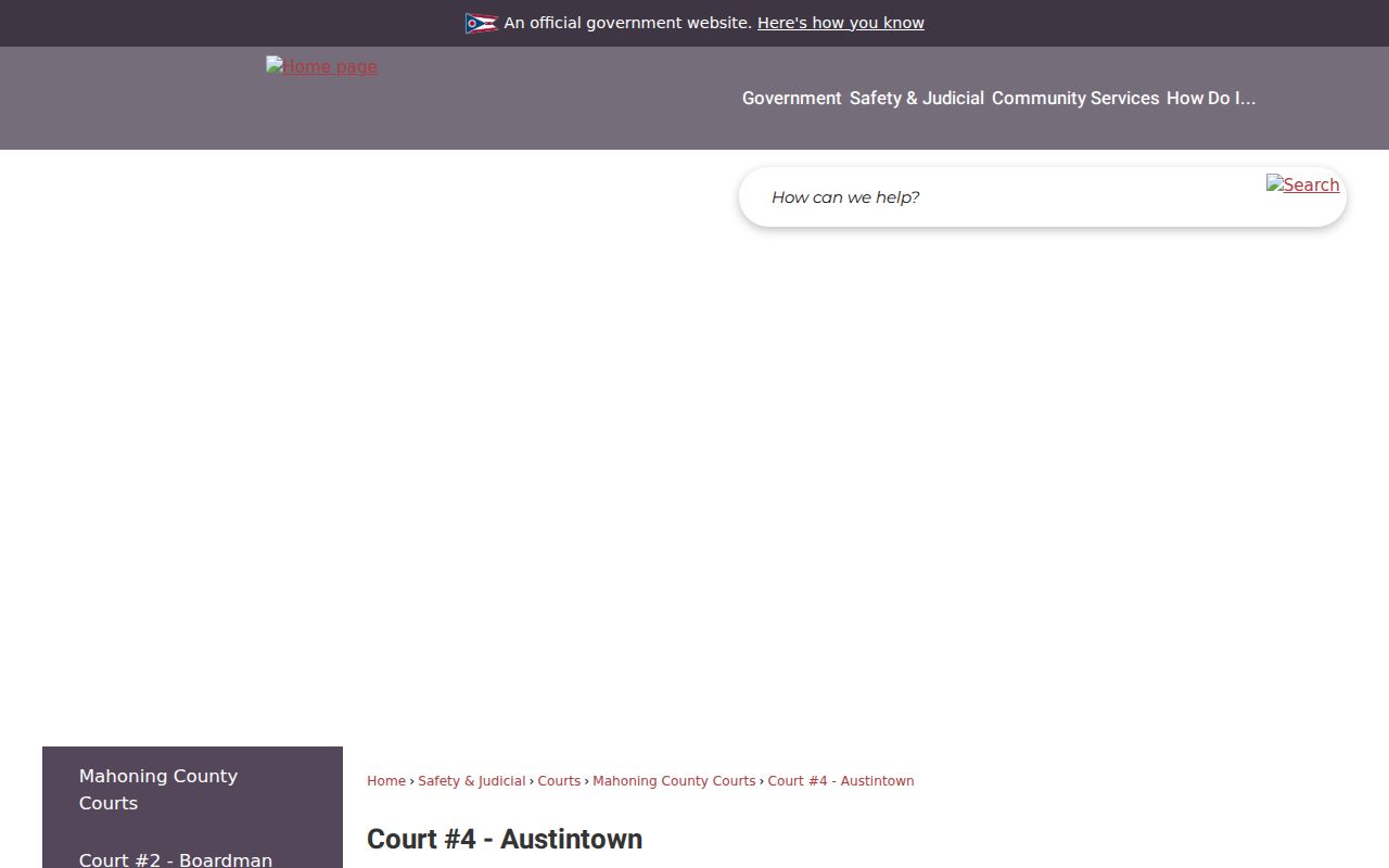
Mahoning County Court #4 also gives public local-jurisdiction context for Austintown, including its court location and case types. The official court page shown below is not a neighborhood roster and should never be used as one. It is relevant only when a specific public case question has already been narrowed to the correct court and case record.
For historical community research, contact the archive or library with a defined person, time period, address, or organization. Avoid turning scattered civic records into an unsupported account of present household relationships.
Austintown Neighbor Source Comparison
Official records are dated products of the office that holds them. A private compilation category may combine public and commercial data, but it can be stale, omit people, merge same-name individuals, or detach an address from its date. For a neighbor question, the stronger route is to use a current parcel record, a recorded document where relevant, and a date-stamped public voter file only within its legal limits. If a record looks wrong, raise it with the source custodian instead of relying on a secondary profile.
| Source category | Useful strength | Limit for a block question |
|---|---|---|
| Official parcel, deed, court, or voter record | Named custodian, defined record role, and checkable date | Each record is narrow and may be redacted, dated, or unrelated to occupancy. |
| Private compilation category | May suggest a lead that needs independent verification | Can be stale or merge people; it is not a substitute for the custodian’s record. |
Neighbor Lookup Limits in Austintown
Ohio’s Public Records Act, Ohio Rev. Code § 149.43, does not override narrower privacy rules. Safe at Home protections can use a substitute address and remove a participant from public voter listings. Ohio Rev. Code § 111.44 protects confidential voter records, while Ohio Rev. Code § 4501.27 restricts motor-vehicle personal information. Utility, delivery, and protected-address data are not public material for a neighbor search. Never infer a nonresident, a household relationship, or a protected location from a missing record.
Lawful use. Austintown Township neighbor research can support family history, property curiosity, civic context, and scam avoidance. Do not use records to watch, stalk, harass, intimidate, or harm any person.
Ohio’s menacing-by-stalking law, Ohio Rev. Code § 2903.211, and telecommunications-harassment law, § 2917.21, apply to harmful conduct involving records or communications. A suspected record error belongs with its custodian: the Auditor for parcel and tax facts, the Recorder for document or index procedure, the Board for registration information, and the Clerk or court for case records. That direct correction route respects both the public record and the people it may concern.